
Edward Triplett uses cameras, drones, and computer mapping technology to reconstruct borders in medieval Spain and Portugal. (Photo courtesy of Triplett)
Castles Crumbling: Using the Digital Humanities to Reimagine Medieval Iberia

When Edward Triplett first stood among the ruins of a Spanish medieval fortress, he wasn’t just looking at weathered stone. He was looking for a story.
And he found one. Using tools such as drone photography and procedural 3D modeling to virtually reconstruct historic fortifications around Spain and Portugal, the assistant professor of the practice of Art, Art History & Visual Studies found a story shaped by centuries of conflict and coexistence between religious and political entities on the Iberian Peninsula.
But Triplett’s work isn’t strictly about the form and appearance of the castles he studies. “My interests lie in the history of landscapes, and the way that fortified architecture shapes landscapes and borders,” he says.
Triplett’s work sits at the intersection of architectural history, the history of cartography and digital humanities. It is about the way castles defined the way territories were shaped and defended throughout the Middle Ages. He emphasizes the strategic role these historic fortifications played, while also revealing the layered cultural exchanges between primarily Christian and Islamic communities.
As part of his Ph.D. dissertation research, Triplett spent months traveling around historic sites across Spain and Portugal, exploring how Christian military-religious orders transformed Islamic castles and palaces during the long period of conflict that was later called the “Reconquista.”
While many scholars had examined the conversions of mosques and synagogues into churches (and vice-versa), few had looked as closely at the role castles played in this process. Triplett’s goal was ambitious: He wanted to explore how castles shaped the Iberian Peninsula from the middle of the 12th century — when military-religious orders were founded on the Peninsula — until the conquest of the Nasrid Kingdom of Granada in 1492.
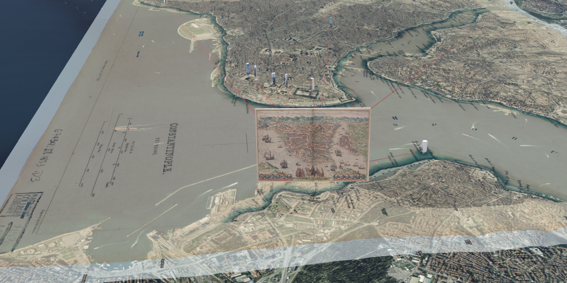
During his dissertation research, Triplett came across an early modern manuscript known as the “Livro das Fortalezas” (“The Book of Fortresses,”) written by Portuguese surveyor and royal house squire Duarte de Armas in the 16th century, and commissioned by King Manuel I of Portugal. Bound in leather and filled with landscape drawings and architectural plans, the manuscript was both a technical survey and a work of art, documenting 55 fortresses and fortified towns along Portugal’s border with the Kingdom of Spain.
“It’s not just that Duarte recorded castles,” says Triplett. “He drew them from impossible perspectives. He was clearly moving from hilltop to hilltop and stitching together a composite image, pretending he could see it all at once."
Duarte de Armas’ manuscript did not fit within the scope of Triplett’s dissertation, but it didn’t stray far from his thoughts. When he arrived at Duke as a postdoc, Triplett jumped back into it, this time with everything Duke has to offer at his fingertips.
“I was attracted to Duke in so many ways as a postdoc, because of the Digital Art History and Visual Culture Research Lab,” he said. The lab explores and develops innovative digital methods to think about how visual art, architecture, cultural heritage and urban spaces are taught and studied.
After several years of photographing, mapping and modeling sites in the Book of Fortresses, that work led to a collaboration with Professor of History Phil Stern called the Sandcastle Workflow. Funded by the National Endowment for the Humanities and Duke’s Bass Connections, Sandcastle Workflow helps researchers explore premodern, non-Cartesian depictions of places by visualizing them in a digital environment that embraces the malleable sense of space displayed by medieval and early modern mapmakers.
Now as a faculty member, Triplett encourages his students to look at the landscape-scale stories told by architectural gems and the implicit arguments made by historical maps.
One course Triplett particularly likes teaching? Creative Cartography: Art and Science, Culture and Nature, a popular course that helps students understand (and break) the “rules” of map making in a creative environment. Students use ArcGIS, Adobe Illustrator and analog drawing to experiment with form and function, and, at the end of the course, create maps that challenge perspectives and tell untold stories about people, places and history.
“We learn about iconography and how to make attractive maps that diverge from the ‘default’ templates that are largely governed by software,” said Triplett. “For example, students can 3D print the physical topography of a place and then hand paint on top of it. As the cartographer, they have to tell a story and engage with the history of the map.”
The course concludes by inviting students to see themselves not just as researchers, but as artists, displaying their maps in an exhibit in the hallways of Smith Warehouse.

To Triplett, studying castles isn't just about nostalgia or ruins. It’s about understanding how architecture can both reflect and reshape power. He says that these medieval structures have surprising relevance, even in today’s world.
A good example happens to be his favorite castle, Calatrava la Nueva, in La Mancha, Spain.
The castle is impressive, but the reason Triplett loves it is the story behind it. Begun in 1217, the castle was designed to be the new headquarters of the Order of Calatrava after a long period when the order was nearly destroyed by an Almohad Empire army from northwest Africa. Calatrava la Nueva faces its old rival, another castle called Salvatierra, which the order was forced to abandon to the Almohads in 1211. Their immobile stand-off represents a centuries-long series of wars in medieval Iberia between Christian kingdoms in the north and Muslim-ruled territories in the south — wars that shaped Spain and Portugal into the countries they are today.
“I love the story, the fact that it's immense, and that it survived.”